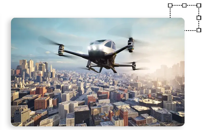
Leveraging Autonomous Flying With Advanced Annotation
We create high-quality training data for your computer vision models through various annotation and labeling techniques.
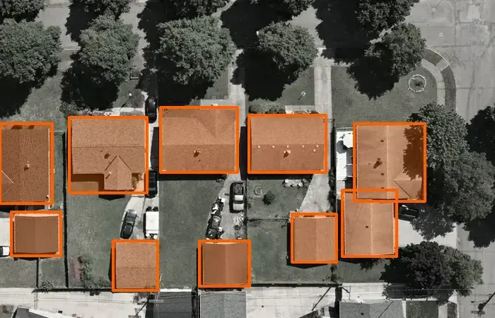
2D Aerial Mapping
Annotate 2D aerial images to create high-resolution maps for autonomous flight systems.
Human Tracking
Annotate drone, satellite, and UAV images to build training data for AI vision models.
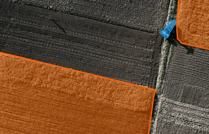
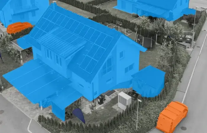
Geo Sensing Segmentation
Use semantic segmentation on satellite, aerial, and drone images for geo-model training data.
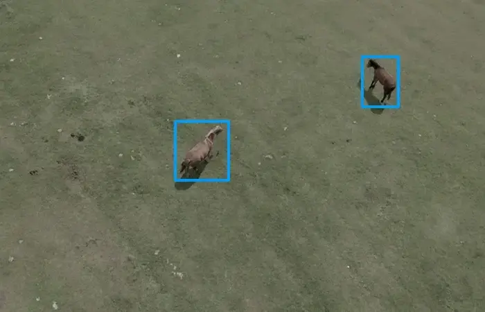
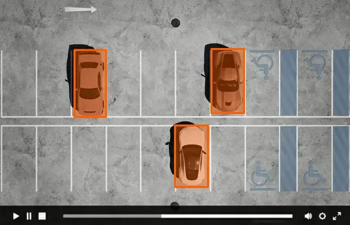
Object Detection (Bounding Box)
Draw bounding boxes to outline objects of interest for accurate object detection.
Video Object Annotation
Annotate video frames with lines to capture moving objects for detection.
2D Polygon Localization
Use 2D polygons to annotate irregularly shaped objects in drone and satellite imagery.
Why You Should Choose LabelForge for Autonomous Flying Annotation?
Reason #1
Training neural networks to function as the aircraft’s visual cortex requires vast amounts of high-quality data. Our AI training datasets empower computer vision-based automated flight systems to operate like a human pilot by ensuring that every model is trained with precision and excellence.
Reason #2
Our dedicated team of annotators employs a human-in-the-loop approach to develop training data for advanced flying systems. We guarantee consistent interpretation of edge cases by meticulously classifying every pixel in images—whether they feature buildings, flat surfaces, varied vegetation, wires, masts, pedestrians, or vehicles.
Interested in Joining Our Team?
In today's tech-driven world, a career in Artificial Intelligence (AI) can be highly rewarding. Join our team of Annotation Specialist, and be a part of the company that creates high-quality training datasets.
Get in Touch with us
 Vietnam Office
102 Tran Phu, Mo Lao, Ha Dong, Ha Noi
 Give Us A Call
+84 812-436-211
